About Haines
Get to Know Our Coastal Community
Tucked between sweeping mountain valleys that stretch north across Canada’s border and rocky inlet shorelines marking the end of North America’s deepest fjord, Haines is a small coastal community deeply connected to the land and the people who choose to call it home.
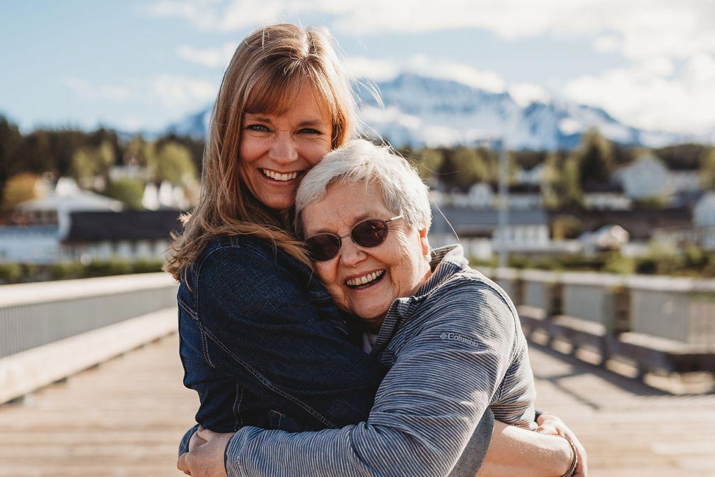
What Our Residents Say
“ Haines is a really special place to live and raise a family.”
LOCATION & THE LAND
The Haines area was originally settled by the Chilkat Tlingit people over 2,000 years ago.
Admired as a prosperous and powerful tribe, they leveraged the area’s location to trade goods throughout Interior Alaska and Canada. Originally named Deishú, Tlingit for “end of the trail,” Haines borough encompasses more than 2,000 square miles of land flanked by two state parks, 286,000-acres of State Forest and just 10 miles away – as the raven flies – from Glacier Bay National Park.
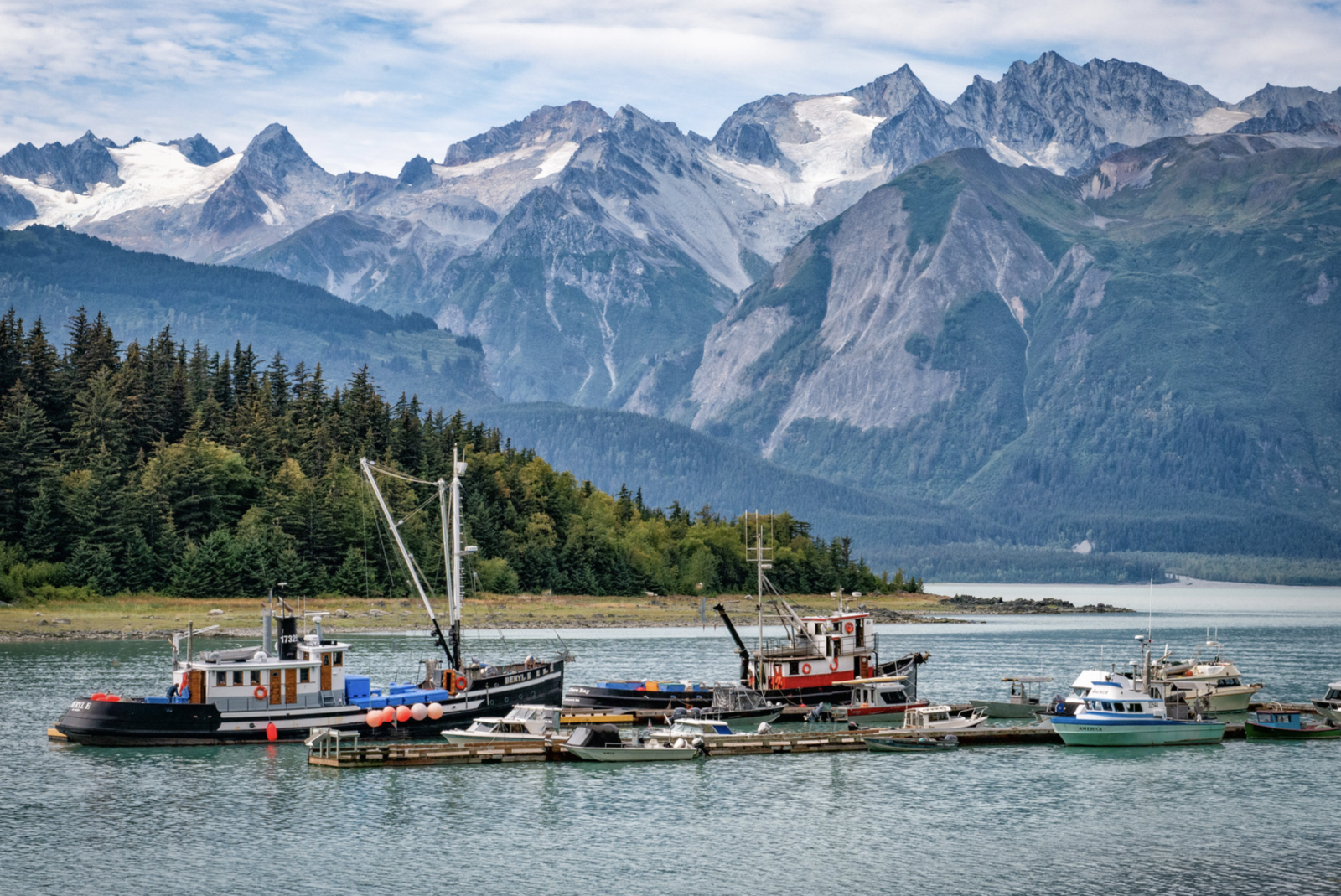
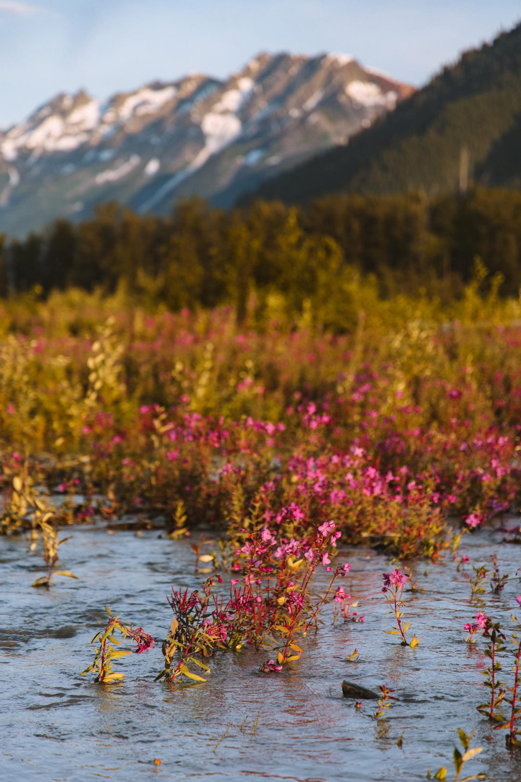
Situated near the end of North America’s deepest fjord and graced with stunning views of the Chilkat and Takshanuk Mountains, the atmosphere teems with unlimited potential for adventures in leisure and business pursuits. Glaciers and rivers wind themselves throughout the Chilkat Valley, providing the land with abundant waters that help sustain the community’s economy, culture, and quality of life.
Haines residents enjoy access by land and sea, a rarity in Southeast Alaska. The 152-mile Haines Highway passes through the U.S.-Canadian border making it possible for residents to drive to larger Alaska cities like Fairbanks or Anchorage or get acquainted with neighbors in Canada’s Yukon and British Columbia territories. For travel within the Southeast region, the Alaska Marine Highway provides ferry routes year-round with direct connections to Haines from Skagway and Alaska’s capital city, Juneau.
WHAT DRIVES US
With access to fertile land, an ever-growing tourism industry, as well as commercial shrimp, crab and salmon fisheries, and locals who pull together to support small business, Haines’ diverse economy attracts people from all walks and stages of life.
Want to get a local’s perspective?
Let's Connect